NISAR Satellite Captures Mount St. Helens Through Thick Clouds
NISAR demonstrates its cloud-penetrating radar by imaging Mount St. Helens from space.
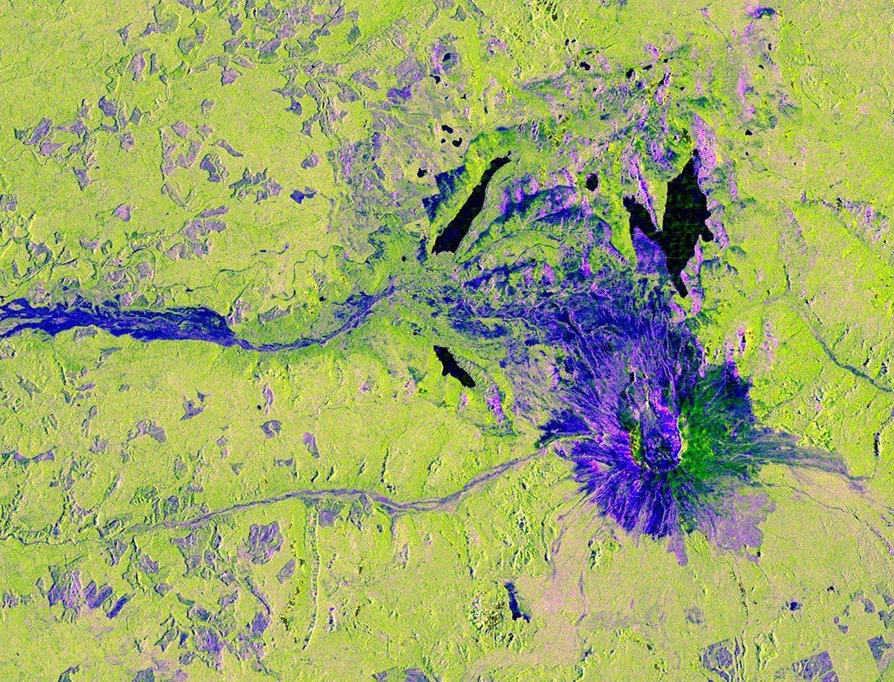
NASA's joint U.S.-Indian satellite NISAR took an image of Washington's Mount St. Helens on November 10, 2025. The picture was cropped from a larger view of the Pacific Northwest on a cloudy day, yet the spacecraft's L-band SAR instrument easily saw the surface below by using radar that penetrates clouds. This shows how the mission can monitor volcanoes and other terrain in any weather. Source: https://science.nasa.gov/photojournal/nisar-views-mount-st-helens/
HELIX: For ordinary people living near volcanoes or fault lines, this means scientists can keep a closer eye on ground movement even on stormy days, helping communities get better warnings about eruptions or earthquakes before they happen.
Sources (1)
- [1]NISAR Views Mount St. Helens(https://science.nasa.gov/photojournal/nisar-views-mount-st-helens/)