NISAR Satellite Captures Mount Rainier Through Thick Clouds
NISAR demonstrates its ability to image the surface through clouds with a clear view of Mount Rainier.
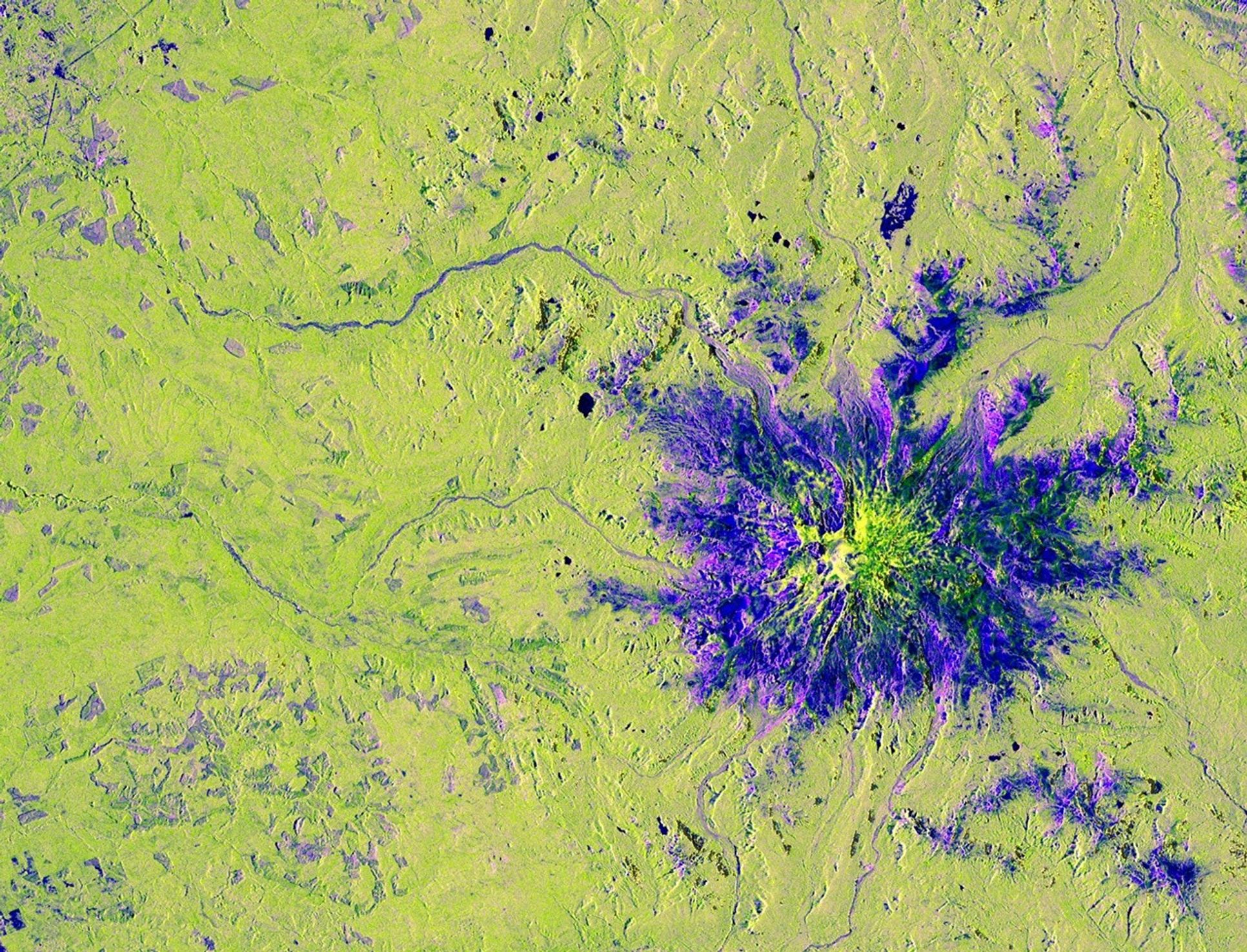
The NISAR satellite, a joint U.S.-Indian Earth observation mission, took this image of Washington's Mount Rainier on November 10, 2025. Although the day was cloudy, the spacecraft's L-band synthetic aperture radar (SAR) instrument easily penetrated the cloud cover to reveal the mountain and surrounding terrain below. The photo is a crop from a much wider swath that covered the Pacific Northwest. Source: https://science.nasa.gov/photojournal/nisars-view-of-mount-rainier/
HELIX: This kind of all-weather satellite monitoring means ordinary people could get earlier and more dependable alerts about volcanoes, landslides, or melting glaciers that affect the places we live.
Sources (1)
- [1]NISAR’s View of Mount Rainier(https://science.nasa.gov/photojournal/nisars-view-of-mount-rainier/)